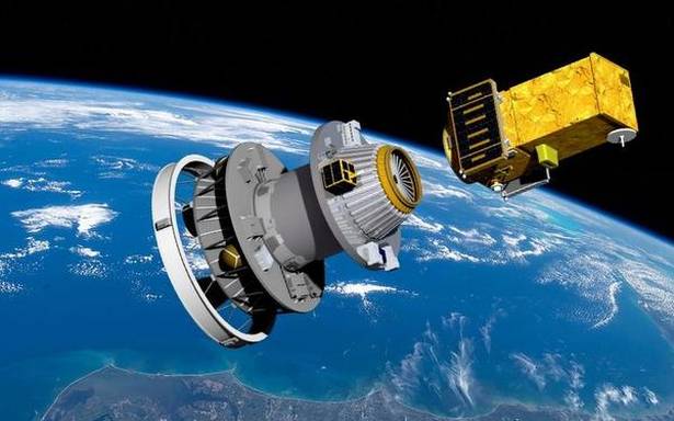
So these tiny satellites being sent up into space in bundles …
The buzz company is called Planet, and they started in 2010 with a team of ex-NASA scientists.
They recently launched 88 new little imaging satellites in one go from the Satish Dhawan Space Center in Sriharikota, India.
Their satellites are called Doves, and they’re shoebox-like machines weighing around 11 pounds. They take a lot of pictures: right now, they can capture 58 million square miles per day, the equivalent of the land on our planet.
The company also recently bought Terra Bella, another imaging company, from Google (for an undisclosed amount, and in a deal that included Google buying data back from Planet). That added 7 better-quality camera satellites to their flock. They can now use their lower-res satellites to build a large picture of Earth and look for changes, and use the 7 Terra Bella units (which have 4 – 6x better resolution) to get details.
They also bought another satellite company that gave them an archive of satellite images dating back to 2008, as well as some more satellites.
Planet doesn’t have a monopoly in the field, though. While they have the lead in whole-Earth imaging, other companies that have better resolution, like DigitalGlobe, provide other services. DigitalGlobe’s resolution exceeds Planet’s: they can make make images from orbit in which they can resolve a laptop screen into a pixel.
